Walks
Win Some, Lose Some
Distance: 16 miles
Time: 8 hours start to finish
Terrain: good flagged paths, ascents to 517m
Location: [Castleton / Ladybower Reservoir, Peak District. Start point SK202859]
Summary: Ladybower Reservoir start / finish. Derwent Valley Heritage Trail, Shatton, Hope, Castleton, the Limestone Way, Mam Tor, Hollins Cross, Lose Hill, Win Hill.
Map: Explorer OL1 (Dark Peak)
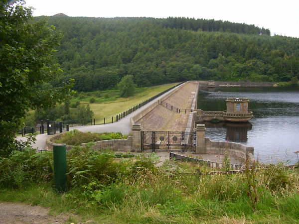 Start at Ladybower Reservoir. Severn Trent Water have put a free car park by the dam, with some of the best public toilets I've seen, which is important when you're starting and finishing an 8hr walk.
The dam is really quite impressive.
For the first couple of miles, follow the Derwent Valley Heritage Trail, which is fairly level. It reminds me of some of my local cycle routes and canal walks. Shatton, despite its name, is a very pretty village.
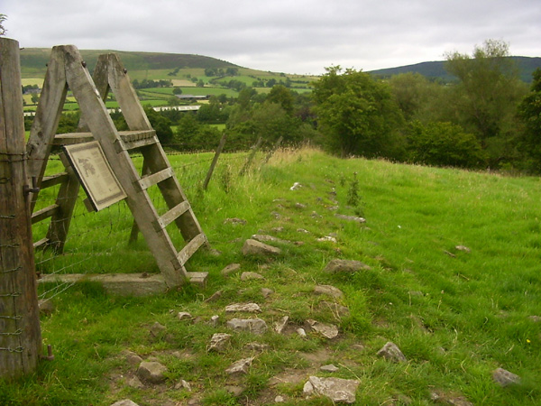 After Brough, there's a Roman fort. I love these, you can really feel the history around you and under your feet. I assume that the stony bit is the remains of the Roman wall, and that the rusty barbed wire is much more recent.
Near Hope, look out for a very interesting church with a broach spire in a beautiful setting.
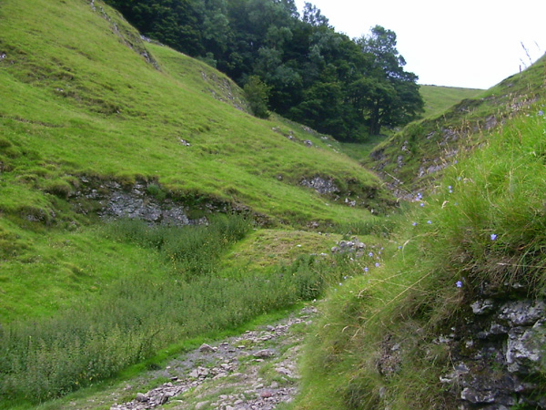 After Castleton comes the quite spectacular Cave Dale. This is the first real cimb of the day, and takes you up to 400m which is most of the work done for the later peaks.
 Pick up the Limestone Way here. To be honest, it isn't as spectacular as it sounds, that is until Mam Tor comes into view.
It can be quite busy on top - there's a car park close by allowing people to just climb the last 60m up some stone steps. It has an unusual stone trig point.
Pick up the Limestone Way here. To be honest, it isn't as spectacular as it sounds, that is until Mam Tor comes into view.
It can be quite busy on top - there's a car park close by allowing people to just climb the last 60m up some stone steps. It has an unusual stone trig point.
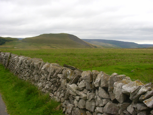
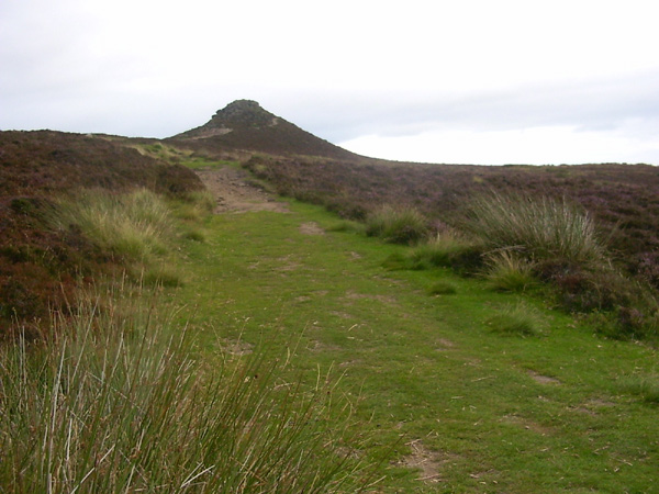
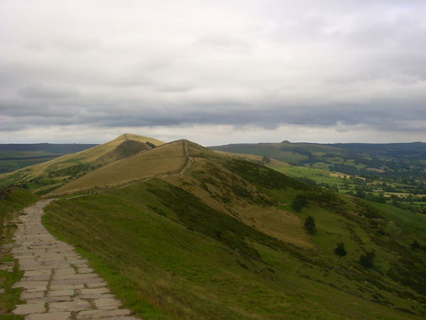 After Mam Tor, the next couple of peaks come into view, with this anti-erosion flagged path which gives the impression of a giant backbone across the landscape. The pimple on the horizon looking so far away is Win Hill, the final peak.
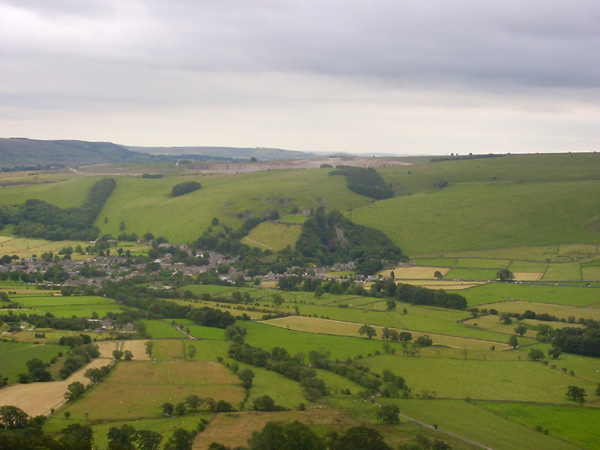 You'll spot Castleton down below. If you enlarge this picture, Peveril castle is in the middle, and just below it to the left is Cave Dale, which we used earlier.
 Lose Hill doesn't have a trig point, but does have this little toposcope. It has compass points engraved on it, along with the names of all the peaks that you can see in the various directions. In the distance of this picture is Win Hill. From Mam Tor to Lose Hill, the peaks are in a line with not much of a dip and climb between them, but getting from Lose Hill to Win Hill meant descending to 170m before climbing back up to 460.
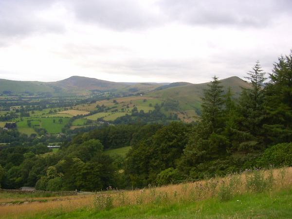 Looking back, you have a great view of the earlier peaks - Mam Tor over to the left, Hollins Cross in the middle and Lose Hill on the right.
 This is the top of Winhill Pike.
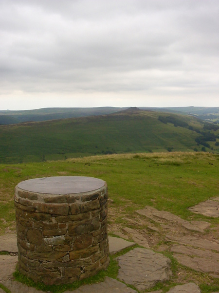
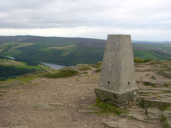 The 360 degree view from up here is spectacular. You can see everything you've done today, plus lots more Peak District to the north. In this snap of the trig point, the starting point, Ladybower Reservoir, is down below.
blog posts about this walk:
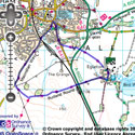
View the route
The link to the right will show you an interactive map with the route shown on it, provided free to you at this level of detail by the lovely folk at OS. The detail on it will be the equivalent of the Landranger map (1:50,000). For the full detail and a map you can carry around the walk with you, you will need an explorer (1:25,000) map. Please use the link below to buy a copy.
This walk uses Ordnance Survey map Explorer OL1 (Dark Peak)
Unlimited listening to thousands of titles:
