Walks
South Derbyshire 18 Circular Walk
Distance: 18 miles
Time: 8 hours start to finish
Terrain: Fields, woodland, track. Some inclines
Location: Hartshorne, South Derbyshire. Start point SK324222
Summary: Starts and finishes at Hartshorne, takes in Foremark Reservoir, and Calke Abbey
Map: Explorer 245 (National Forest)
The notes below are to accompany you, not to guide you. Use the map at the bottom of the page together with these notes and a paper map, preferably 1:25,000 (Explorer 245, National Forest)
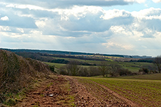 This walk takes in some of the best that South Derbyshire has to offer. Foremark Reservoir, Robin Wood, Calke Abbey, Daniel Hayes.
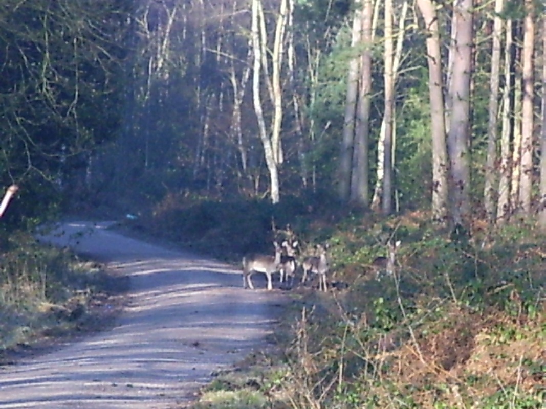 Starting from Hartshorne, walk around Foremark reservoir, past Bendall's and Seven Spouts Farm, Hangman's Stone and on to Ticknall. By the Calke estate, pick up the Ivanhoe Way at the Ferrer's Centre and on to Ashby. Head off right (west) to skirt the bypass, and back to Hartshorne via Smisby.
This walk on Flickr:
blog posts about this walk:
- http://peacockmedia.blogspot.com/2008/02/brrrr.html
- http://peacockmedia.blogspot.com/2008/02/brrrr.html
View / download the route
Below is an interactive map with the route shown on it, which you can make full-screen. To take a paper map with you at the best detail, you will need an explorer (1:25,000) map. Please use the link below to buy a copy. Below the map is a link to download the GPX file which you can open in many mapping and navigation apps, including OsmAnd (Open Street Map) and OSMaps (Ordnance Survey)
For the full detail, you will need an explorer (1:25,000) map. Please use the link below to buy a copy.
This walk uses Ordnance Survey map Explorer 245 (National Forest)
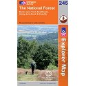
Ordnance Survey Explorer 245 The National Forest
1:25,000 scale map incuding The National Forest, South Derbyshire, Burton upon Trent, Swadlincote, Ashby de la Zouch, Coalville. Both of South Derbyshire's reservoirs, Foremark Reservoir and Staunton Harold Reservoir. The whole of Ivanhoe Way is clearly marked.
Note that OS paper maps now include the digital / mobile map, downloadable and viewable *offline* in the OSMaps app. The routes provided on these pages in GPX format will open and display over the digital mapping in the OSMaps app.
Unlimited listening to thousands of titles:
