Walks
Rutland Water Normanton - Empingham Circular Walk
Distance: 7 miles
Terrain: fairly flat, mostly road and surfaced path
map: Ordnance Survey Explorer 234 (Rutland Water)
View the route
 This walk is a short distance and mostly uses good surfaces but has fabulous views, and so will be ideal for new walkers or those unsure about venturing far off the beaten track.
Alternatively, the loop can be used to add a few extra miles to the main reservoir circular walk.
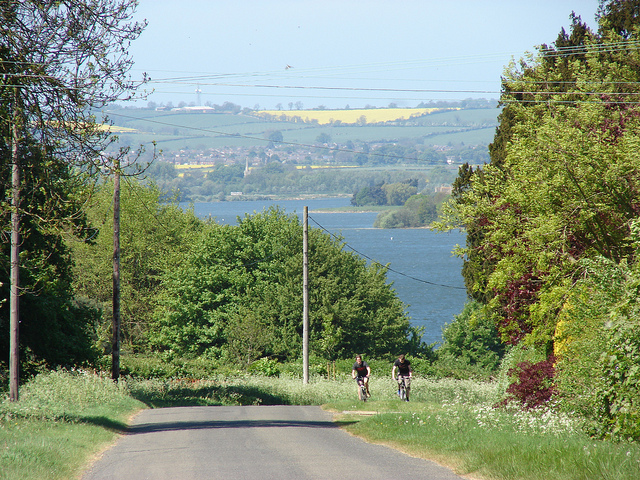
Start at the visitor centre at Normanton, SK931056. This centre has a car park with toilets, cafe. Walk out of the car park entrance, turn left and walk along the road a little way to the junction with a road on your right. Cross the road with care and walk up that road. It climbs and gives you views back over the reservoir
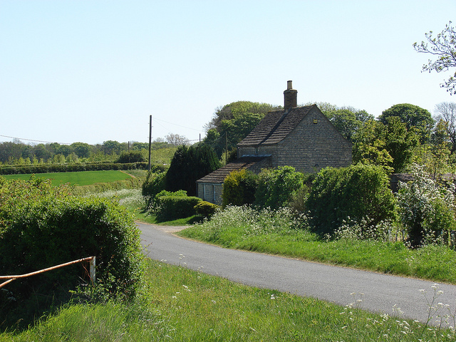 After a mile and a half (just before bluebottle cottage), fork left, then at the next junction carry on straight onto the farm track. Enter the field where signposted and then turn left at the next gate, keeping on the same side of the hedge. Follow the waymarkers in a straight line until you meet a road once more. Follow this road into Empingham.
 After the church, look out for road signs telling you 'no access to Rutland Water' which is not true as long as you're on foot! Two roads to the left have these signs, you can take either, and look out for the fingerposts for the footpath.
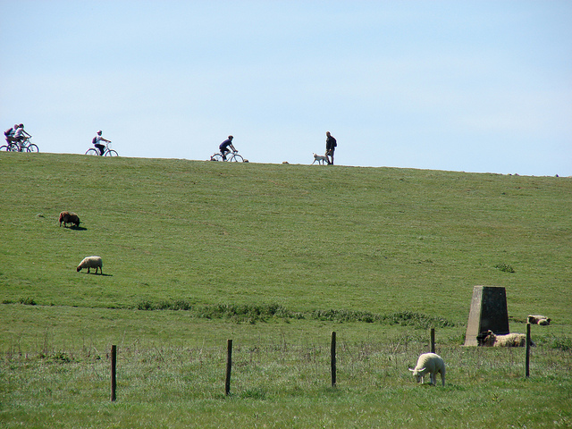
There will be no views of Rutland Water here because you're lower than the dam. Initially the path will descend, but then begin to climb when you will see the dam and probably see people cycling and walking across it.
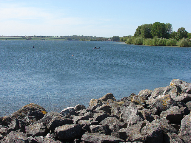
At the dam you will join the busy circular route around the Water and should have no problem following the path back to the visitor centre. The dam is a lovely walk with views over both arms of the reservoir and back over You will pass Normanton Church museum which was rescued from the water when the valley was flooded and is well worth a visit.
Osprey webcam at Lyndon Nature Reserve - Rutland Water is home to the first Ospreys to breed in England for 150 years. View the webcam
blog posts about this walk:
View / download the route
Below is an interactive map with the route shown on it, which you can make full-screen. To take a paper map with you at the best detail, you will need an explorer (1:25,000) map. Please use the link below to buy a copy. Below the map is a link to download the GPX file which you can open in many mapping and navigation apps, including OsmAnd (Open Street Map) and OSMaps (Ordnance Survey)
Download GPX file for the Rutland Water Normanton - Empingham Circular Walk
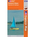
This walk uses Ordnance Survey Explorer 234 Rutland Water
1:25,000 scale map Rutland Water. Includes Stamford and Oakham. Click the thumbnail for more information
Note that OS paper maps now include the digital / mobile map, downloadable and viewable *offline* in the OSMaps app. The routes provided on these pages in GPX format will open and display over the digital mapping in the OSMaps app.
Unlimited listening to thousands of titles:

Free Desktop / Wallpaper images
If you've enjoyed these photographs of some of the beautiful views and things growing and living in our countryside, why not use one as your desktop image?