Walks
Offa's Dyke Path (north) Knighton to Prestatyn
Distance: 97 miles
Terrain: Varies considerably; hill, moor, forest. Generally a good well-maintained path but has steep climbs and descents and many stiles.
Location: English / Welsh Border, Shropshire, Powys, Denbeigh, Clwyd, Start point Knighton SO284725
 The Offa's Dyke Path is a 177-mile coast-to-coast National Trail on the English / Wesh border, for a large part following the earthwork.
The Offa's Dyke Association's visitor and exhibition centre at Knighton neatly splits the Trail into two walks; the south part Chepstow to Knighton and the north part Knighton to Prestatyn.
Being a man-made feature, the dyke crosses a variety of terrain; hills, river plain, scree slope, boggy moor and forest.
The path feels very remote, it's difficult at times to buy provisions without leaving the path by a mile or two for the more major towns.
Accommodation and transport
Depending on the speed that you walk and the distances you choose to do each day, it may take around a week to walk each half.
Compared to some other long-distance paths, Offa's Dyke path has a good selection of campsites and bed and breakfasts. The most popular way to walk the path seems to be to use bed and breakfast. There are plenty of these on the way, the advantage being that you don't have to carry food and a tent. Some even offer the service of driving your luggage to the next stop. The location of these may dictate the distance that you walk each day.
There are plenty of campsites too if you want to carry food and a tent, but I can vouch for the fact that this makes a very heavy pack to carry over the steepest sections of the path.
There are bus and train options at Knighton, Prestatyn and points in between.
Plan a journey to or from Knighton or from Prestatyn to Knighton.
To make planning easier, the official guide (available below) contains a distance checklist (key points and distances between) and a little information on accommodation and campsites. (The association sells a proper list for £1.50).
Navigation
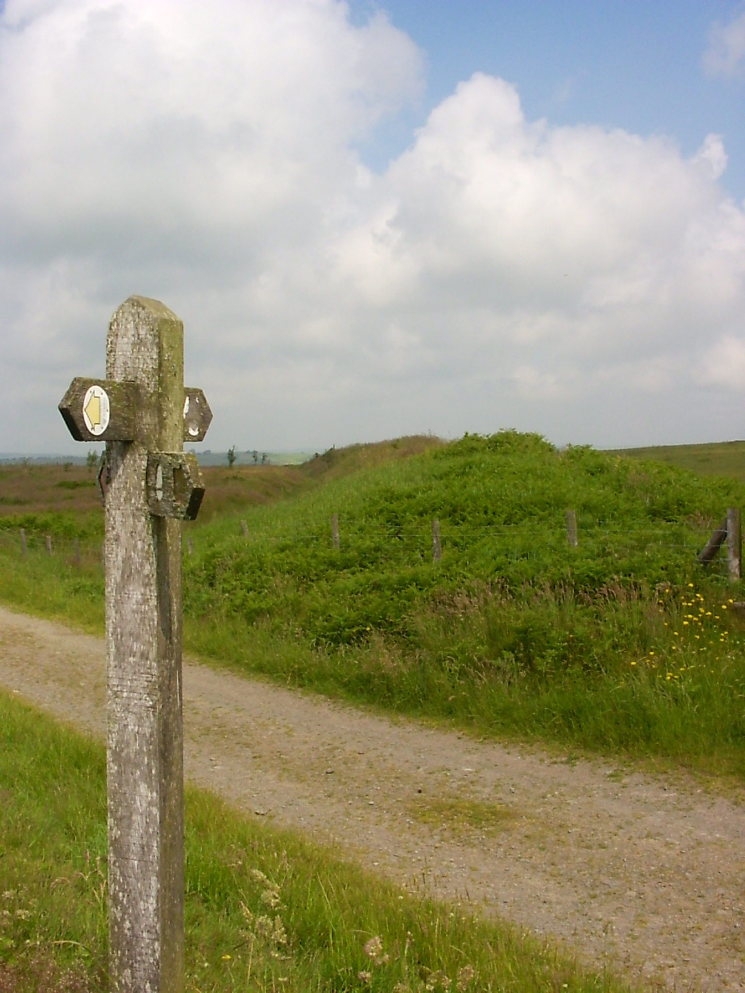
Navigtion is not a challenge for the experienced. This is the best maintained and waymarked path I have seen. However, don't be tempted to try walking it using the waymarkers alone; although the acorn symbols on fingerposts and stiles make navigation a breeze, they simply can't be relied upon. A post or disc may be missing, defaced, overgrown or you may simply fail to spot it. How far will you walk before you realise that you're off track? The best way to walk is to use the waymarkers, but also follow your route using a 1:25,000 map (have a compass handy). The official guide boook (available below) contains 1:25:000 maps for the route and plenty of information to make the walk even more interesting.
blog posts about this walk: