Walks
Bakewell to Monsal Head and Monsal Dale Viaduct
Distance: 8 miles
Terrain: dismantled railway, optional descent down into Monsal valley
Location: Bakewell, Peak District. Start point SK218685
Map: Ordnance Survey Explorer OL24 (White Peak)
Summary: A four mile walk from Bakewell along the Monsal Trail to the viewpoint at Monsal Head. Then retrace steps back to Bakewell.
The notes below are to accompany you, not to guide you. Use the map at the bottom of the page together with these notes and a paper map, preferably 1:25,000 (Explorer OL24)
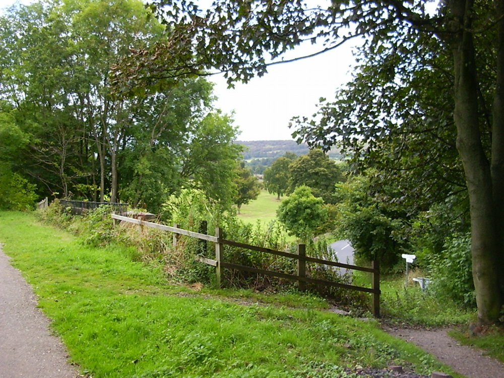 The Monsal Trail is an old railway line. They're often nicely-surfaced and great for walking at any time of the year - they're flat and, in winter, not muddy. Navigation is simple.
Monsal Head is one of the best views in the Peak District. Like many views, it's possible to drive there and enjoy the view without walking far, but I feel that you can appreciate a view like this all the more if you've worked for it.
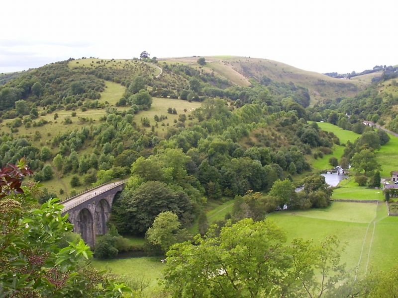
The Monsal Dale Viaduct, which originally carried a railway, but is now a surfaced walking path, is fascinating. Imagine the valley without a viaduct, and a proposal to build one. John Ruskin had a real rant about it, and he's quoted on an information board by the viaduct. his main beef seems to be that the bridge would make it easier for humans to travel between Buxton and Bakewell. Ironically, the viaduct is now protected.
 The route is quite simple. Pick up the Monsal Trail at Bakewell. There's a convenient pay-and-display car park at SK222689 which is a little cheaper than the car parks in the town. Walk along the old railway line following signs to Monsal Head. Just before you get there, there's a closed tunnel, so you have to leave the line and cross fields, and when you arrive at a road, turn left and head up the hill.
Once you've arrived at the viewpoint, you can make a little loop by walking down to the viaduct (bottom left of the photo), over it, across the river where the buildings are on the right, and back up to this viewpoint again, before heading back to Bakewell along the railway line.
Retrace your steps back. If you choose, you can go back a slightly different way (marked pink on my map) there's a bridleway which takes you back into Bakewell. It climbs quite high and so has fabulous views.
blog posts about this walk:
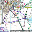
View the route
The link to the right will show you an interactive map with the route shown on it, provided free to you at this level of detail by the lovely folk at OS. The detail on it will be the equivalent of the Landranger map (1:50,000). For the full detail and a map you can carry around the walk with you, you will need an explorer (1:25,000) map. Please use the link below to buy a copy.
This walk uses Ordnance Survey Explorer OL24 (White Peak)
Unlimited listening to thousands of titles:
